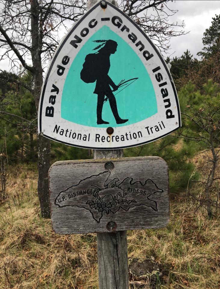
Bays de Noc—Grand Island Trail
Rapid River
Escanaba MI, 49878
Tel: (906) 474-6442
DirectionsThis trail follows the ancient portage route of Chippewa Indians from Lake Michigan (Rapid River) to Lake Superior (Munising). It parallels the Whitefish River and offers amazing river bluff views of the Whitefish River Valley.The southern 1/4 of the trail winds along through jack pine, red pine, and aspen timber, interspersed with grassy openings. The terrain is fairly level, broken only by an occasional stream crossing. As the trail stretches northward through the maple, paper birch, and beech forest, hikers will encounter the typical glacial terrain characterized by short rounded hills scattered in a random fashion. These hilly stretches are occasionally separated by one- to five- mile stretches of flat land supporting a pine and aspen forest.The 40-mile trail overlooks the Whitefish River basin from a ridge running from Rapid River to Munising. Trail follows the ancient portage route of Chippewa Indians from Lake Michigan to Lake Superior.The Bay de Noc-to-Grand Island Trail begins from a point 2 1/2 miles east of the town of Rapid River and one mile north of US Highway 2 and extends northward for approximately 40 miles terminating at its intersection with State Highway 94 at Ackerman Lake. The three main trail heads are:Access A: Two miles east of Rapid River on US-2. Turn left onto County Road 509 and travel 1.5 miles north. Parking lot is on the west side of the road. Trail goes north 22 miles to Access B.Access B: Two miles east of Rapid River on US-2. Turn left onto County Road 509 and travel 16 miles north. Parking lot is on the east side of the road. Trail goes north 18 miles to Access C.Access C: Ten miles southwest of Munising on M-94. Parking lot is on north side of road opposite Ackerman Lake.The Bay de Noc-to-Grand Island Trail parallels the Whitefish River, starting from 1/2 to 2 miles east of the river. The trail follows the approximate location of an ancient Chippewa Indian portage route used to carry canoes and supplies between Lake Superior and Lake Michigan. Following the river bluff for a considerable distance, it offers the hiker many extended views to the west across the Whitefish River Valley.Other associated recreation facilities include numerous primitive access roads leading from County Road 509 to the trail.There are also three large assembly areas for horses and hikers which consist of parking lot, tethering area, water well, and vault toilets. One such area is located at the south trail head, one at the Alger-Delta County Line and one along the north side of Highway M-94. These areas are also suitable for camping. The middle assembly area is better suited for camping than the others because of its large space and quiet location off of County Road 509. While water is available at the parking areas, it is suggested that you carry a drinking water supply with you. In order to be safe, all drinking water should be boiled or disinfected with Halazone.Trail Notes
DO STYLING
Horse riders be aware that hikers also use the trail. Be cautious when approaching.Camping permits are not required; however, competitive events such as group races require a permit in advance.In order to protect the lakes or streams from contamination, please tether your horse at least 100 feet from the water's edge.At campsites, make sure temporary hitch rails are dismantled and manure piles are scattered to aid decomposition, discourage flies, and as a courtesy to others. Motorized Use Prohibited


